Description
Can be programmed to any Navionics+ Large Area Globally, Please contact us for more information
With a blank Navionics+ chart, you have free choice of cruising area.
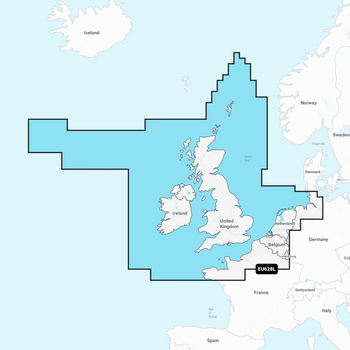
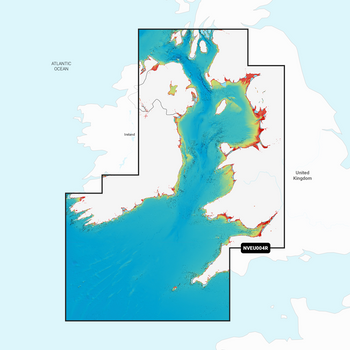
When purchasing, choose from a LARGE = large coverage area, or a REGULAR = more localised area. Exactly the same map details only the area size is different.
Clear two-dimensional maps for serious navigation: All the benefits of electronic maps with the familiar look of paper maps
Features
- A clear interference free display: Easy to read regardless of zoom range
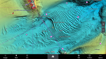
- Superior in detail: Tides and currents, port overviews and port services
- Completely seamless: No overlapping information No gaps. No breaks from overview map to detail map


