Description
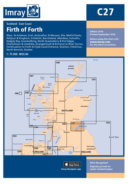
Imray C27 Firth of Forth Chart
Includes
- St Andrews (1:7500)
- Crail (1:7500)
- Anstruther (1:7500)
- St Monans (1:7500)
- Elie (1:10 000)
- Methil Docks (1:11 000)
- Pettycur & Kinghorn (1:17 500)
- Inchkeith (1:25 000)
- Burntisland (1:20 000)
- Aberdour (1:12 500)
- Inchcolm (1:15 000)
- Dalgety Bay (1:15 000)
- Inverkeithing (1:15 000)
- North Queensferry & Port Edgar (1:20 000)
- Charlestown & Limekilns (1:15 000)
- Grangemouth & Entrance to River Carron (1:17 500)
- Continuation to Forth & Clyde Canal Entrance (1:17 500)
- Granton (1:12 500)
- Fisherrow (1:12 500)
- North Berwick (1:7500)
- Dunbar (1:7500)
Specifications
- Scale: 1:75,000 WGS 84
- Author: Imray
- Publisher: Imray
- ISBN: 9781786790590
- Edition date: 2018
- Publication details: Sheet size 787 x 1118mm. Waterproof. Folded in plastic wallet or flat.


