Navionics
Garmin Navionics Vision+ Electronic Chart - UK, IRL Rivers & Lakes
- SKU:
- G010-C1267-00
- UPC:
- 753759290412
Description
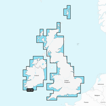
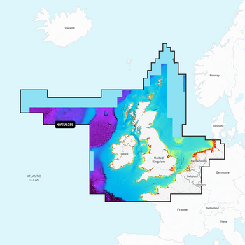
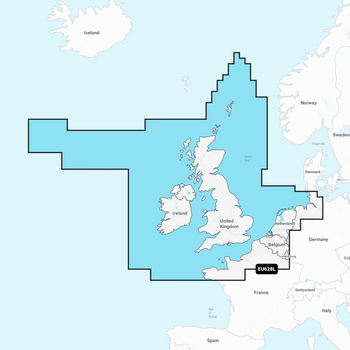
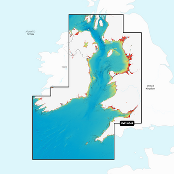
Garmin Navionics Vision+ detailed coverage of major lakes and rivers of the UK and Ireland. Coverage includes the Thames, Medway, Mersey, Avon and Tweed Rivers in the UK and the Shannon River in Ireland. Lake coverage includes Lock Ness, Loch Lochy and Lough Neagh in the UK.
Garmin Navionics+ & Garmin Navionics Vision+ are exclusivley for use in Garmin Chartplotters. For non Garmin Chartplotters see Navionics+ & Navionics Platinum+ Charts
Specification
| Navionics Vision+ | |
| Coastal Content | • |
| Inland Content | 42,000+ lakes |
| Detailed Nautical Charts | • |
| Up To 1' Contours | • |
| Daily Updates1 | Via ActiveCaptain App |
| Auto Guidance+ Technology2 | • |
| ActiveCaptain® App Support | • |
| ActiveCaptain Community | • |
| Depth Range Shading | • |
| Shallow Water Shading | • |
| Dynamic Lake Level | • |
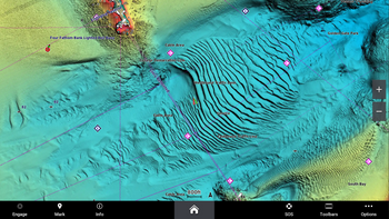
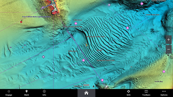
| High-Resolution Relief Shading1 | Via ActiveCaptain App |
| High-Resolution Satellite Imagery1 | Via ActiveCaptain App |
| Aerial Photography | • |
| 3D Fisheye View | • |
| 3D Marinereye View | • |
Memory Card
- SD/ Micro SD Card


