Description
Check Compatibility Here
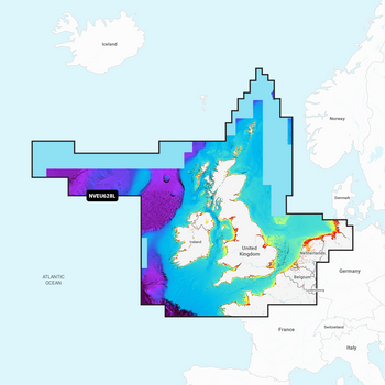
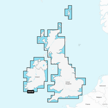
Garmin Navionics Vision+ Electronic Chart NVEU004R has coastal coverage of the eastern coast of Ireland, the western coast of Britain, including the Isle of Man and Isles of Scilly. Coverage is from Port Ellen on the Isle of Islay to Falmouth in Britain and from Fanad Head to Kenmare Bay in Ireland. Coverage includes areas such as Londonderry, Belfast, Liverpool and Cardiff, United Kingdom and Dublin and Cork, Ireland.
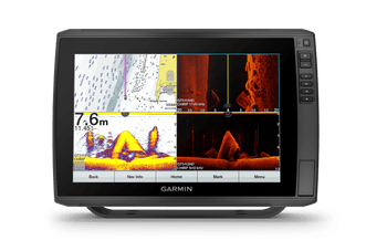
Garmin Navionics+ & Garmin Navionics Vision+ are exclusivley for use in Garmin Chartplotters for non Garmin Chartplotters see Navionics+ & Navionics Vision + Charts
Specification
| Compare Chart Info | Garmin Navionics+ | Garmin Navionics Vision+ |
|---|---|---|
| Coastal Content | • | • |
| Inland Content | 42,000+ lakes | 42,000+ lakes |
| Detailed Nautical Charts | • | • |
| Up To 1' Contours | • | • |
| Daily Updates1 | Via ActiveCaptain App | Via ActiveCaptain App |
| Auto Guidance+ Technology2 | • | • |
| ActiveCaptain® App Support | • | • |
| ActiveCaptain Community | • | • |
| Depth Range Shading | • | • |
| Shallow Water Shading | • | • |
| Dynamic Lake Level | • | |
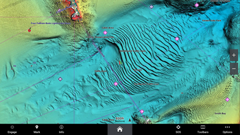
| High-Resolution Relief Shading1 | Via ActiveCaptain App | |
| High-Resolution Satellite Imagery1 | Via ActiveCaptain App | |
| Aerial Photography | • | |
| 3D Fisheye View | • | |
| 3D Marinereye View | • |
Memory Card
- SD/ Micro SD Card


