Garmin
Garmin Navionics+ Chart - Ireland West Coast NSEU075R
- SKU:
- G010-C1233-20
- UPC:
- 753759289270
- MPN:
- NSEU075R
Description
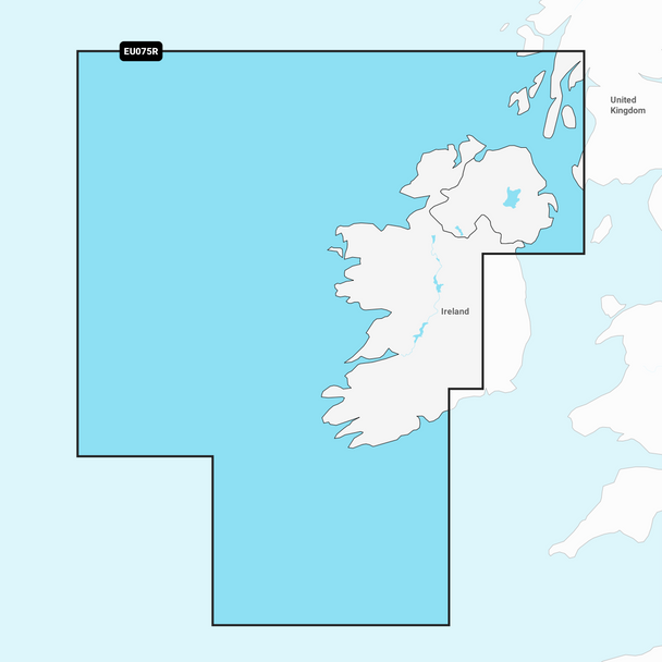
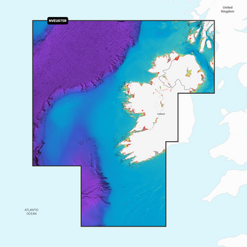
Garmin Navionics+ Electronic Chart NSU075R - Coastal coverage of the north and western coasts of Ireland from Cork to Belfast including the entire Shannon Inland and Shannon-Erne Waterways, Galway Bay and Lough Neagh. Also included is the southwestern Scottish coast from Colonsay to Campbelltown.
Garmin Navionics+ & Garmin Navionics Vision+ are exclusivley for use in Garmin Chartplotters for non Garmin Chartplotters see Navionics+ & Navionics Platinum+ Charts
Specification
( This Chart is the Garmin Navionics+)
| Compare Chart Info | Garmin Navionics+ | Garmin Navionics Vision+ |
|---|---|---|
| Coastal Content | • | • |
| Inland Content | 42,000+ lakes | 42,000+ lakes |
| Detailed Nautical Charts | • | • |
| Up To 1' Contours | • | • |
| Daily Updates1 | Via ActiveCaptain App | Via ActiveCaptain App |
| Auto Guidance+ Technology2 | • | • |
| ActiveCaptain® App Support | • | • |
| ActiveCaptain Community | • | • |
| Depth Range Shading | • | • |
| Shallow Water Shading | • | • |
| Dynamic Lake Level | • | |
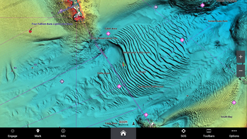
| High-Resolution Relief Shading1 | Via ActiveCaptain App | |
| High-Resolution Satellite Imagery1 | Via ActiveCaptain App | |
| Aerial Photography | • | |
| 3D Fisheye View | • | |
| 3D Marinereye View | • |
Memory Card
- SD/ Micro SD Card


