Description
ADMIRALTY Chart 1411: Irish Sea - Western Part
Specifications
- Scale: 1:200000
- Manufacturer: ADMIRALTY
- Publisher: ADMIRALTY
- Author: UK Hydrographic Office
- Edition: Nov-17
- Format: Folded to approximately 71.5 x 53.5cm, containing at least one fold.
Related Products
Related Products

ADMIRALTY Chart 1121: Irish Sea with Saint George's Channel and North Channel
Admiralty
Current Stock: 4
RRP
Now
€46.95
Was
ADMIRALTY Chart 1121: Irish Sea with Saint George's Channel and North Channel Specifications Scale: 1:500000 Manufacturer: ADMIRALTY Publisher: ADMIRALTY
49623

ADMIRALTY Chart 1125: Western Approaches to Ireland
Admiralty
Current Stock: 2
RRP
Now
€46.95
Was
ADMIRALTY Chart 1125: Western Approaches to Ireland Specifications Scale: 1:500000 Manufacturer: ADMIRALTY Publisher: ADMIRALTY
49624/1

ADMIRALTY Chart 259: Baltic Sea
Admiralty
Current Stock: 3
RRP
Now
€46.95
Was
ADMIRALTY Chart 259: Baltic Sea Specifications Scale: 1:1500000 Manufacturer: ADMIRALTY Publisher: ADMIRALTY Author:&nb
49619/06

ADMIRALTY Chart 2649: Western Approaches to the English Channel
Admiralty
Current Stock: 2
RRP
Now
€46.95
Was
ADMIRALTY Chart 2649: Western Approaches to the English Channel Specifications Scale: 1:500000 Manufacturer: ADMIRALTY Publisher: ADMIRALTY
49690/8

ADMIRALTY Chart 2723: Western Approaches to the North Channel
Admiralty
Current Stock: 1
RRP
Now
€46.95
Was
ADMIRALTY Chart 2723: Western Approaches to the North Channel
Specifications
Scale: 1:200000
Manufacturer: ADMIRALTY
Publisher: ADMIRALTY
49719/3

Imray C62 Irish Sea Charts
Imray
Current Stock: 5
RRP
Now
€34.95
Was
Imray C62 Irish Sea Charts Includes Carrickfergus (1:15 000) Bangor Bay (1:17 500) Entrance to Strangford Lough (1:37 500) Portaferry Marina (1:7500) Strangford (1:5000) Ardglass (1:15 000) Entrance...
49562

Navionics+ Marine Chart - Irish Sea
Navionics
Current Stock: 0
RRP
Now
€175.00
Was
Check Compatibility Here
C
G010-C1311-30

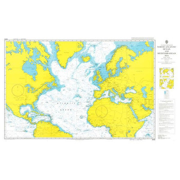
ADMIRALTY Chart 4004: A Planning Chart for the North Atlantic Ocean and Mediterranean Sea
Admiralty
Current Stock: 0
RRP
Now
€46.95
Was
ADMIRALTY Chart 4004: A Planning Chart for the North Atlantic Ocean and Mediterranean Sea Specifications Scale: 1:20000000 Manufacturer: ADMIRALTY Publisher: ADMIRALT
49726
Special Offer

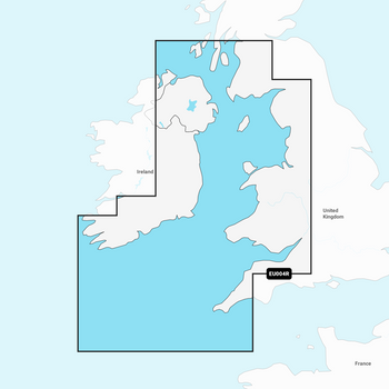
Garmin Navionics+ Chart - Irish Sea NSEU004R
Navionics
Current Stock: 4
RRP
Now
€125.00
Was
€162.00
Check Compatibility Here
Garmin Navionics Electronic Chart NSEU004R has coastal coverage of the eastern coast of Ireland, the western coast of Britain, including the Isle of Man and Isles of Scilly...
G010-C1232-20